
Does a drone flight replace a walking inspection?
No. It extends reach and speeds coverage, but seams, flashings and soft spots still need hand checks. We pair the two when the findings call for it.
Drone roof imaging for large Kenosha, WI commercial roofs: geo-tagged photo sets, year-to-year comparison and findings tied to a marked roof plan.
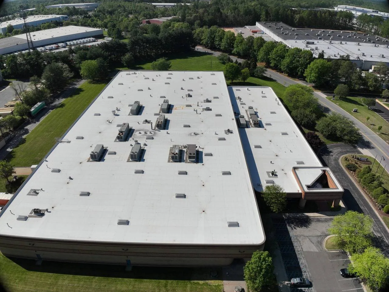
Overhead images are only useful when each one can be located and compared. A drone flight over a Kenosha, WI roof produces hundreds of photographs, and unless each is tagged to a position on the plan, the set is a pile of pictures. Our drone inspections are built the other way around. We plan the flight lanes, capture overlapping images at a fixed altitude, tag each to the roof grid, and extract the findings onto the same plan that a walking inspection would use. The output is a file a facility director can sort by area, rating or date.
The drone extends the reach of an inspection. It does not replace the hands-on checks that confirm what the images suggest.
Drones earn their place on large, low-slope roofs where walking the full surface would take a day and expose staff to edges. They also suit roofs with restricted access, such as those with limited hatches, fragile skylights or sections the crew should not step on. Standing seam metal, steep sections and roofs with active ice are safer to image than to walk.
They are less useful where the question is below the surface. A drone sees what is on top of the roof: ponding stains, open laps, displaced flashings, missing fasteners, debris and damaged edge metal. It does not see the wet insulation under a membrane that looks fine. Where that is the concern, the drone flight is paired with an infrared and core-cut survey, which tests what the images cannot.
Warehouses and distribution buildings are the typical candidates. Pleasant Prairie's LakeView Corporate Park holds more than 80 companies, Uline's distribution buildings among them, and a distribution center roof is a natural fit for repeatable aerial capture.
Access is the other deciding factor. A roof with a single ladder and a long walk to the far corner takes time and exposes the technician to edges and skylights, and an aerial pass can map the whole roof first so the walk can be confined to the areas that need hands-on checks.
Planning starts with the airspace. Kenosha Regional Airport covers 974 acres west of downtown, and Waukegan National Airport lies across the state line, so we check airspace classes, restrictions and any required authorization before each flight. Flights are scheduled in daylight with wind and visibility within the aircraft's limits, and a visual observer is present where the rules or the site call for one.
Capture follows a grid. We fly parallel lanes with overlap so the images can be stitched into a continuous map, then add oblique passes along parapets, rooftop units and penetrations to see details from the side. Close inspection photographs of flagged areas come last, at low altitude, and are tagged to the finding numbers.
Lighting matters. Low sun angles throw shadows that hide cracks, and glare from a white membrane can wash out detail. We choose the time of day to suit the surface, and we record the conditions in the log so a repeat flight can match them.
Data handling is part of the job. Images are copied from the aircraft to a project folder the same day, named by flight lane and finding number, and backed up before the aircraft flies again. A flight log records the aircraft, the battery cycle, the operator and any interruptions. If a gust or a loss of signal forces us to repeat a lane, the log says so, which keeps the image set complete and the record honest about what was captured.
On a clean flight, the images show ponding by the staining and algae it leaves, sagging between supports by the pattern of standing water, and seam problems by lifted edges and discoloration. They show flashings that have pulled from walls, sealants that have split, and coping or edge metal that has shifted. Debris near drains, displaced equipment covers and mechanical damage from foot traffic are plain to see.
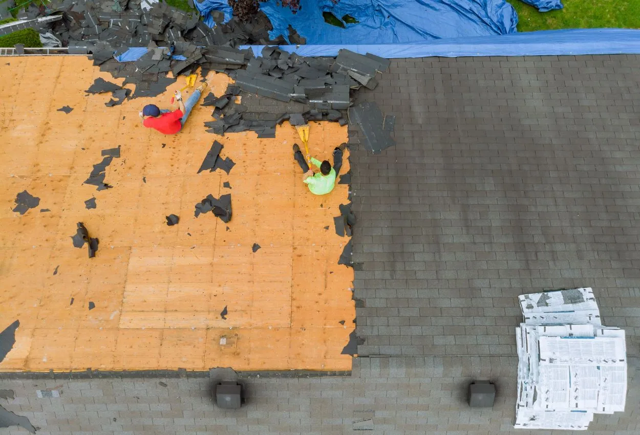
After a storm, aerial images capture the extent of the damage quickly and safely. The January 7, 2008 tornadoes in Somers and on the north side of Kenosha were a reminder of how fast wind can change a roof's condition, and a before-and-after pair of drone sets would document it in a way that holds up. Because the sets are geo-tagged and dated, they allow measured comparison, not recollection.
Each finding is numbered, rated and added to the plan. The images that support it are linked in the file, so an adjuster, an engineer or a manager can open the finding and see the evidence directly.
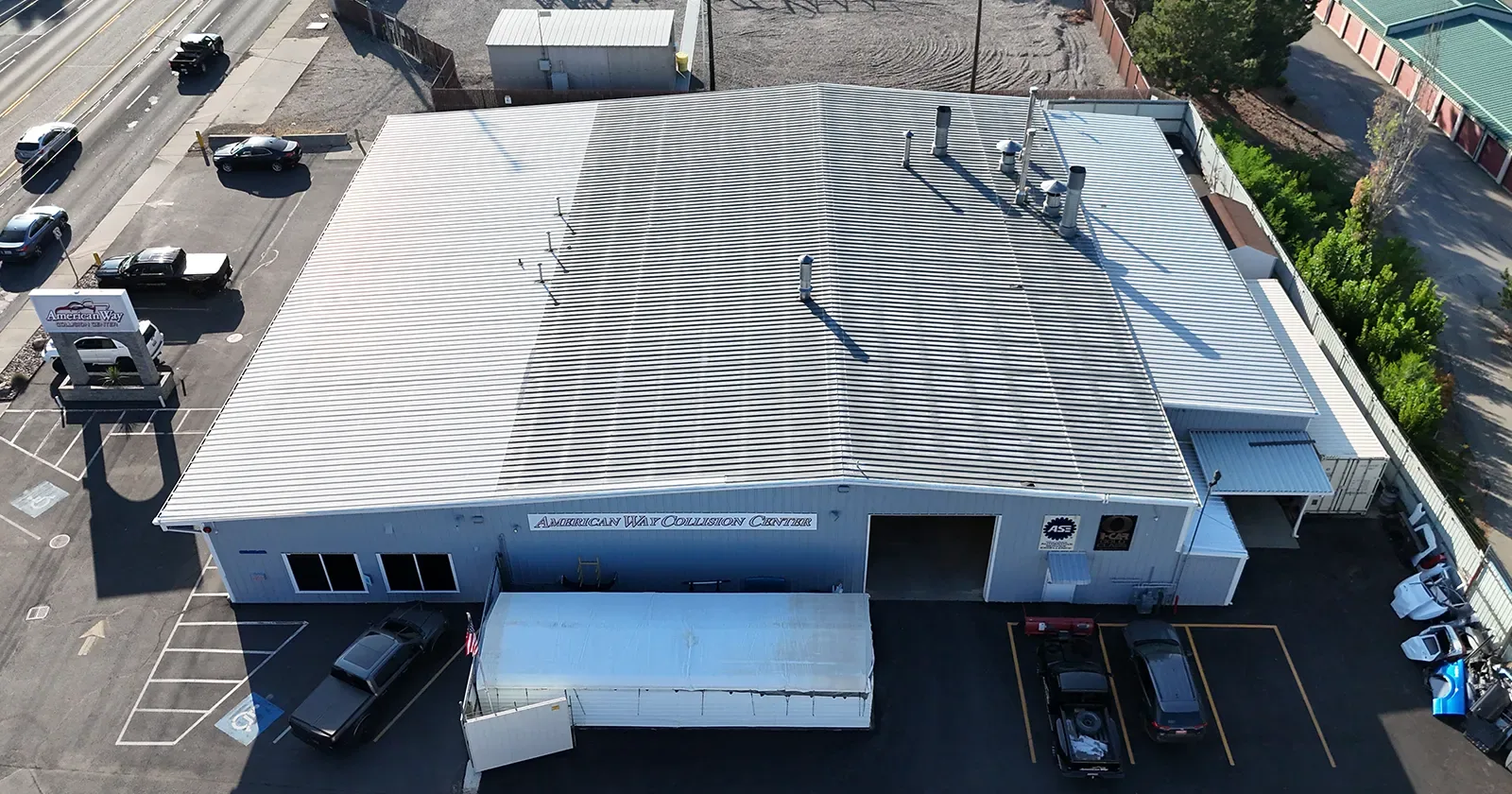
Thermal cameras on drones can reveal temperature differences across a roof after the sun goes down, when wet insulation releases stored heat more slowly than dry. The pattern is a lead, not a verdict. Surface conditions, roof color and wind affect the readings, so thermal results are verified with moisture meters and core cuts before any scope is written.
Winter conditions need care. Snow cover blocks the view, and cold batteries shorten flights, so we schedule thermal work in conditions where it can succeed and record the weather beside each flight. Owners who want an annual aerial record can set the same flight dates every year, which makes year-to-year changes easier to read.
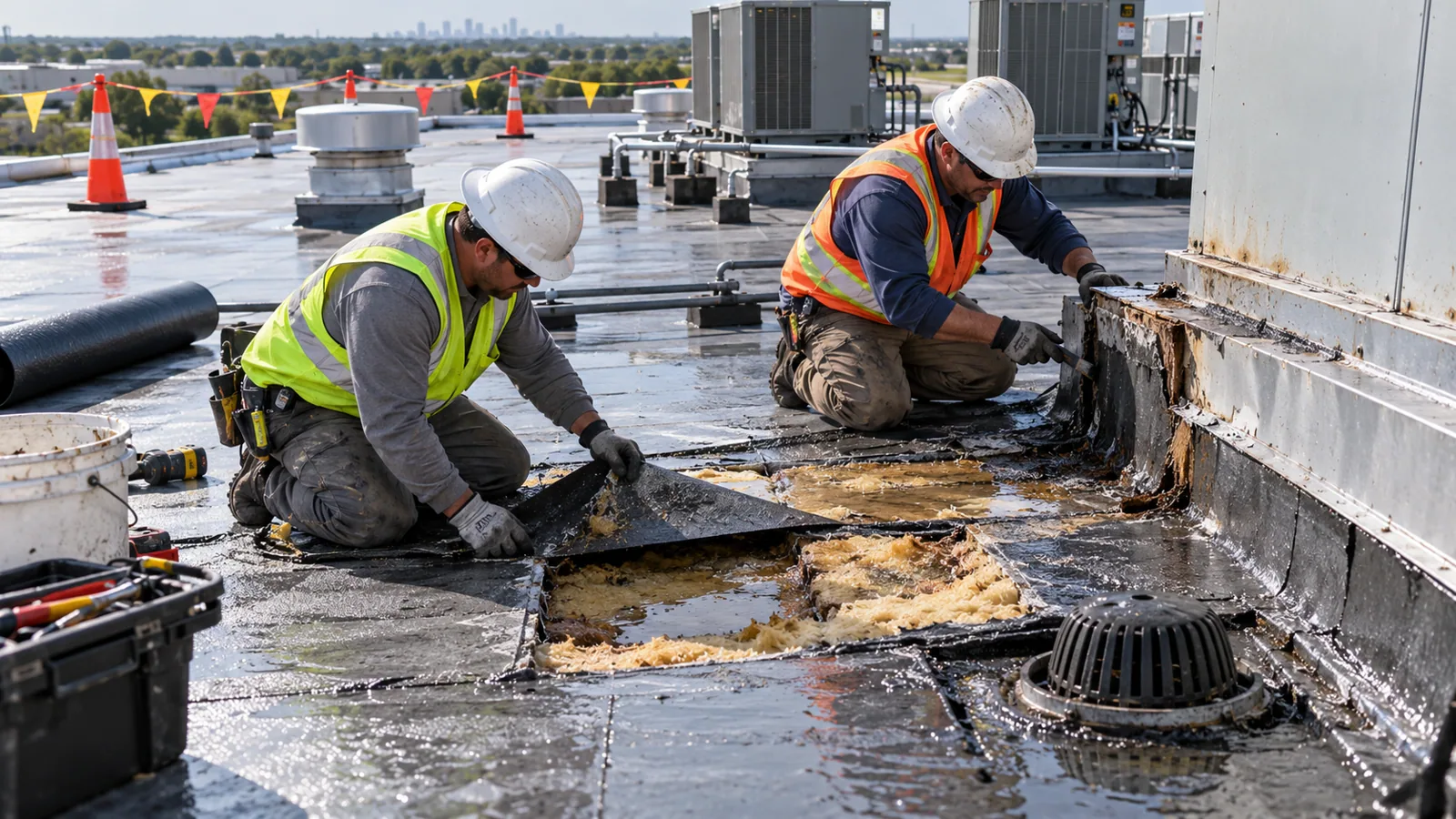
The greatest value of aerial imaging accumulates over time. A fixed flight plan produces comparable image sets each year, so growth in ponding, new cracks or shifting flashings show up as changes between sets. For owners with several buildings, such as a property manager with retail centers in Gurnee and a warehouse in Sturtevant, the same method applies across the portfolio, and the results feed a multi-site roof program.
The imagery and findings sit within roof asset management records alongside inspection ratings, repair logs and warranty documents. Large retail roofs, such as a big-box store, are well suited to this kind of repeatable record.
Owners in Gurnee and across the state line can request the same service.
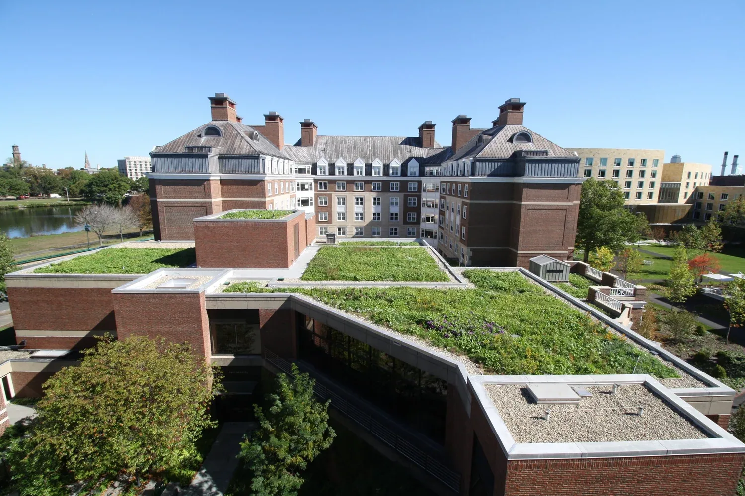
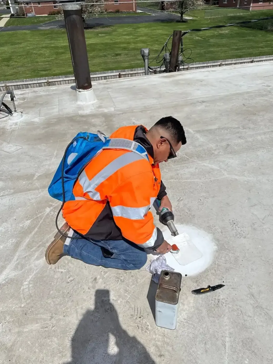
Drone images cannot test seam strength, probe soft spots or confirm that a flashing is sealed. Those checks happen by hand, which is why a drone inspection usually ends with a short walk of the flagged areas by a technician. The hands-on step is the same walk performed in a full commercial roof inspection, and the two methods together give the owner a rating that stands behind the images.
The final report includes the stitched roof map, numbered findings with image references, ratings by section, and the list of items verified on foot. It also states the flight date and weather, which ties the file to the conditions it describes.
Keep Reading
Infrared scans and core-cut verification for Kenosha, WI commercial roofs, producing a numbered moisture map that separates wet insulation from dry.
Distribution center roof inspection, leak tracing, repair and replacement in Kenosha, WI, with drain records, moisture maps and condition ratings.
One roof program across many buildings from Kenosha, WI: shared inspection format, seasonal scheduling along I-94 and one reporting file for facility teams.
Roof asset management for Kenosha, WI portfolios: numbered roof sections, dated photo sets, condition ratings and an inspection log for capital decisions.
Big-box retail roofing in Kenosha, WI: fastener-row findings, moisture surveys, snow-load records and multi-store roof programs for regional retail teams.
Commercial roofing in Gurnee, IL for retail, hospitality and office buildings along I-94, with dated findings, moisture surveys and rated condition reports.
No. It extends reach and speeds coverage, but seams, flashings and soft spots still need hand checks. We pair the two when the findings call for it.
Authorization may be required in controlled airspace. We check airspace and restrictions before each flight and schedule around any limits.
On suitable days, yes. Snow cover hides surface conditions, so we choose clear days and note the conditions in the file.
A stitched roof map, numbered image sets and a written findings report. All are delivered electronically and tied to the roof plan.
A fixed annual date gives the best comparison. After a storm, an additional flight documents the change.